Before-you-go checklist
- Is Ortega open right now? Caltrans status, QuickMap and CHP.
- Construction closures: weeknight flagging and occasional full weekend closures near Lake Elsinore.
- Weather & alerts: wind, fog and Red Flag fire weather.
- Fire & closures: active fires and evacuation tools.
- Fuel up and download offline maps before you start.
The route
Ortega Highway is the western part of California State Route 74, running about 28 miles from I-5 in San Juan Capistrano through the Cleveland National Forest to Grand Avenue in Lake Elsinore (route length). See our route guide for stops along the way.
From the west
Take I-5 to San Juan Capistrano and exit at Ortega Highway (SR-74), heading east.
From the east
From I-15 in Lake Elsinore, take Central Ave west, then Riverside Dr and Grand Ave to the 3-way stop, and turn right onto Highway 74.
Gas and services
Fill up before you head into the mountains. At the west end there is a Chevron at 27101 Ortega Highway in San Juan Capistrano. Services along the mountain section are limited to a few small stores and restaurants (see the route guide), so start with enough fuel for the whole trip.
When to go
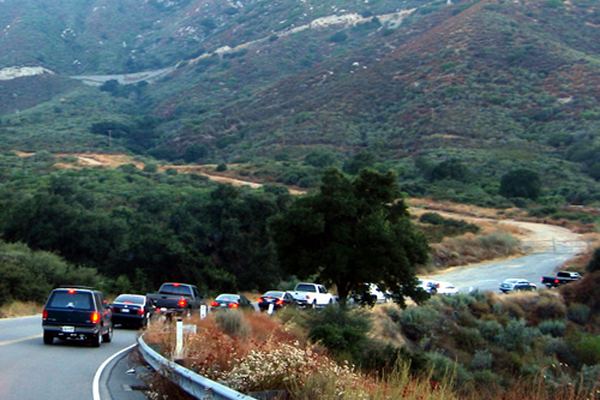
Caltrans says the San Juan Capistrano end is heavily congested during the morning and evening peak hours (Caltrans). On weeknights, construction flagging near Lake Elsinore runs from 8 p.m. to 10 p.m., with full closures as needed (Caltrans). Check live traffic before you go.
Cell coverage
Mobile coverage can be spotty in the canyon, so load your map and route before you leave and tell someone your plans if you're hiking or riding alone.
If the highway is closed
Drivers going between south Orange County and Lake Elsinore usually go around on the freeways (I-5, CA-91 and I-15). Check Caltrans QuickMap or your map app for the best route at the time. During full construction closures, Caltrans has allowed resident access only, by pilot car.
Every car you pass saves about 0 minutes. Take your time and be safe. See Safety on the Ortega.